What is Happy Trails?
Happy Trails is a subway-map-style guide to Toronto's multi-use trails. It isn't a replacement for a conventional map. It is meant to make clear where the trails go, where they stop, and why. Understanding why the network looks the way it does is the first step to seeing how it could grow.
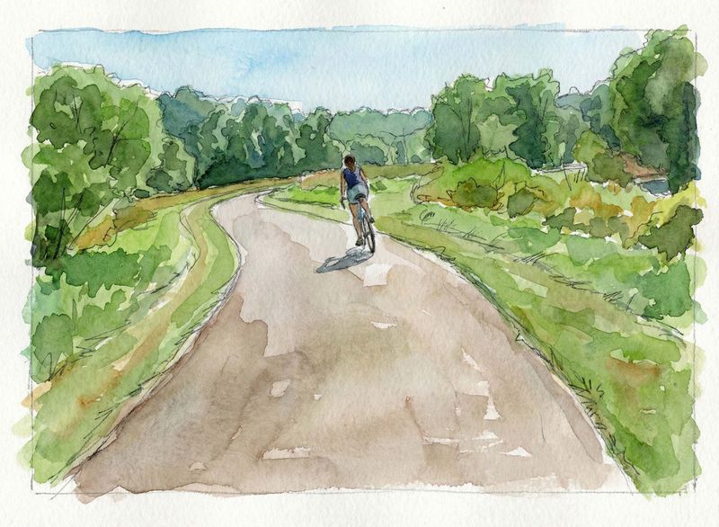
This site is about the trails, not the city's bike lanes. Bike lanes are ordinary city infrastructure, or should be, and the provincial fight over them is a story for another place.
The trails are a pleasure. They are busy on a fine day, they offer real respite from the noise and chaos of the city, and they are a great way to get some exercise. In places they are also the fastest way across town on a bike. Properly connected, they could carry a real share of Toronto's trips and take some pressure off its famously congested roads.
The network isn't ready for that yet. Development, highways, railways and golf courses cut it into pieces. Golf courses are a particular problem: they occupy long stretches of ravine floor, replace natural river banks with lawn, and close off some of the best green space the city has. The City itself owns seven courses, five it runs and two it leases, covering about 150 hectares of public parkland.
What are the multi-use trails of the GTA?
Toronto is not known as a cycling city. It is better known for gridlock, and for a provincial government that passed Bill 212 in 2024 to remove the protected bike lanes on Bloor Street, Yonge Street and University Avenue. A court found the removals unconstitutional in July 2025; in 2026 the Court of Appeal sided with the province.
Even so, the city has a great deal to work with: roughly 400 km of off-road trails and about 250 km of bike lanes and cycle tracks at the end of 2025. That still lags other Canadian cities (Calgary passed 1,000 km of paved pathway in 2020), but the geography is favourable, the winters are milder than their reputation, and the trail network keeps growing while new on-street lanes stall.
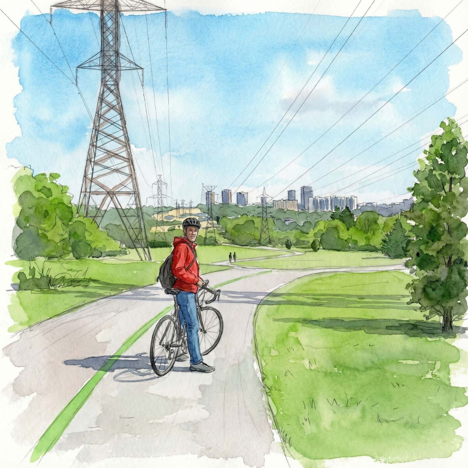
Multi-use trails, the subject of this site, are the mostly paved, mostly car-free paths shared by walkers, runners, wheelchairs, scooters, bikes, e-bikes and teenagers escaping their parents: anything, in other words, except the cars, trucks and taxis you share the road with on the way to the grocery store. Most exist where building was impossible or unwelcome: in flood-prone ravines, and under the high-voltage lines of hydro corridors. Others follow old railways, like the Beltline, or the lakeshore, like the Waterfront Trail, which has seen major upgrades over the past decade.
The ravines are the heart of it. Toronto's ravine system covers about 11,000 hectares, some 17% of the city, and is often described as the largest urban ravine system in the world. Much of it is public because of Hurricane Hazel. The 1954 storm killed 81 people across the region, and in its aftermath the new conservation authority bought flood-plain land and barred building on it, turning at-risk neighbourhoods into green space. Planners put an elevated highway along the waterfront and pushed the lower Don into a straightened channel, but the ravines were land they could not build on, and that is where the trails are.
Why not just use Google Maps?
Google Maps is an extraordinary piece of work, but cycling is not its focus. Its cycling layer is crowded, trails are missing or mislabelled, and some paths are marked in ways that are simply wrong.
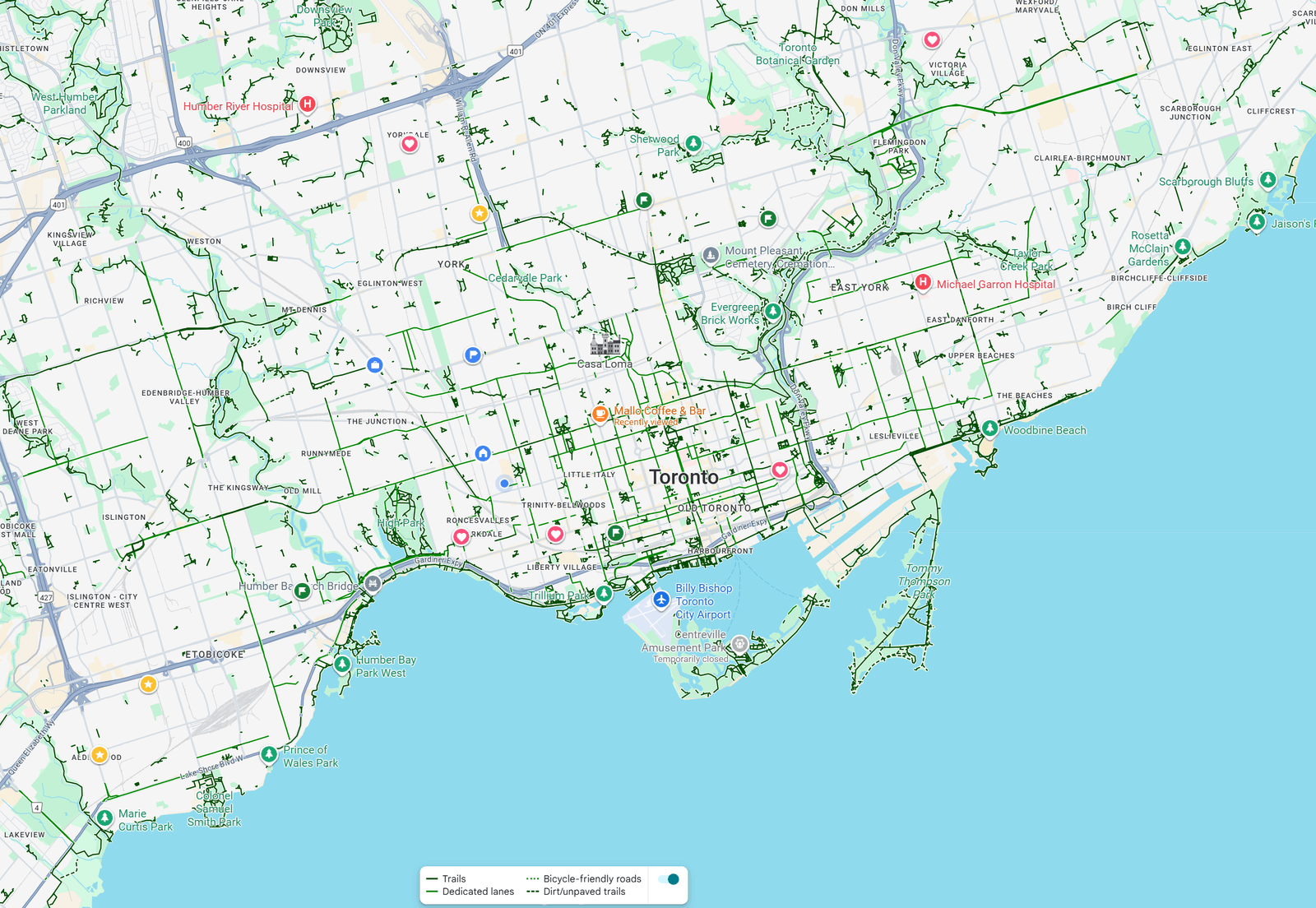
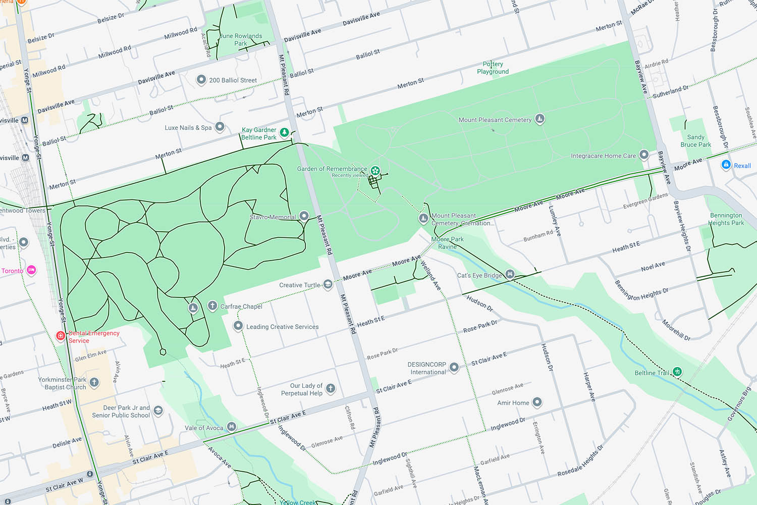
Mount Pleasant Cemetery is a good example. The western half is drawn as a cyclist's paradise, while the Beltline route through the middle, which is how most cyclists actually cross the cemetery, is missing. The Garden of Remembrance appears as a cluster of bike paths. It is not.
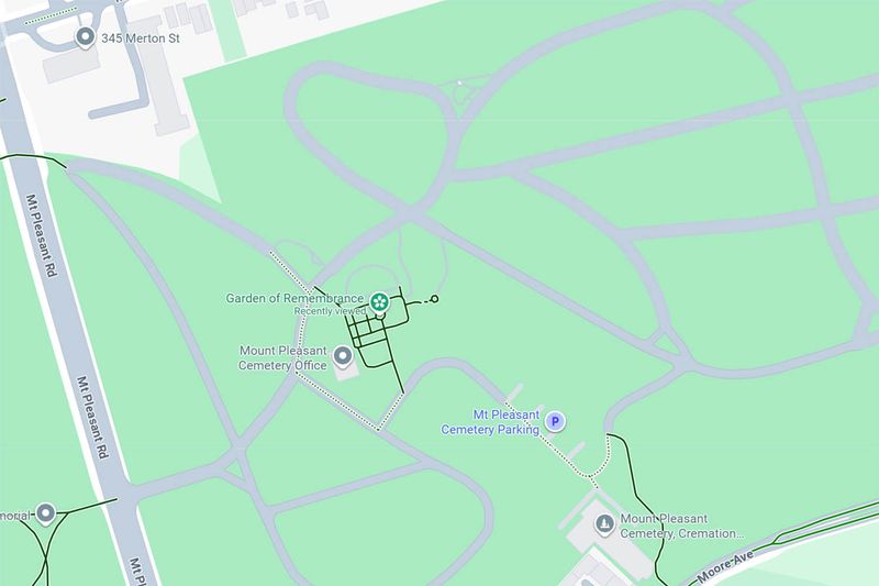
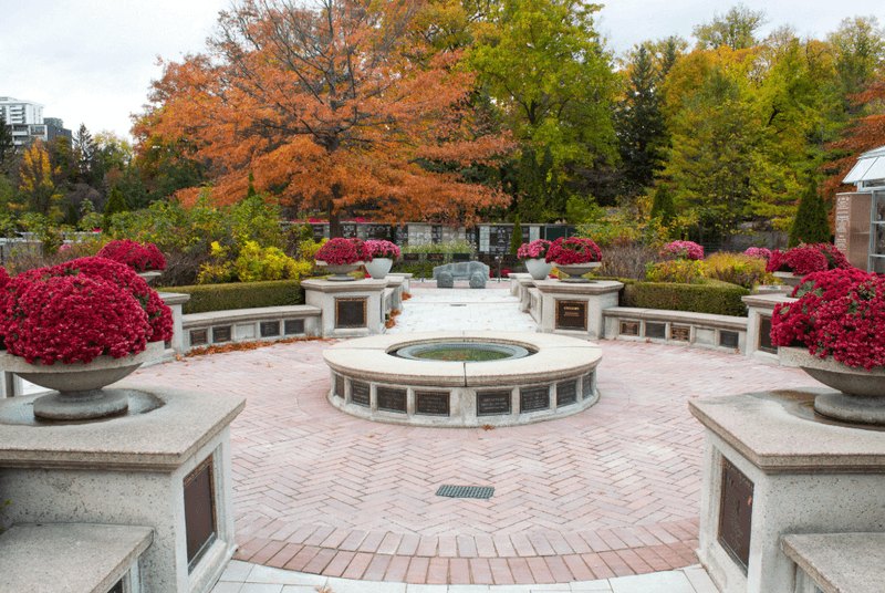
Errors like these are common across the city. I have sent corrections through Google's own feedback tools, without success, and the problems are too widespread to fix one at a time. For cycling, it simply isn't reliable enough.
What about the Toronto Cycling Map?
The City's official cycling map is better, and I keep a printed copy at home. Trails are clearly marked in orange and most of the clutter is gone. It could be improved by marking routes as primary or secondary and removing a little more of the noise, but it does the job.
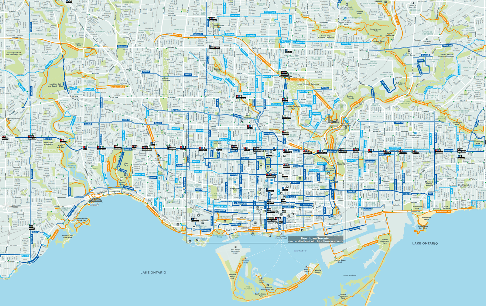
But it is essentially a paper map published as a large PDF: slow to load, awkward on a phone, and not interactive. Montreal publishes a similar map and does it much better.
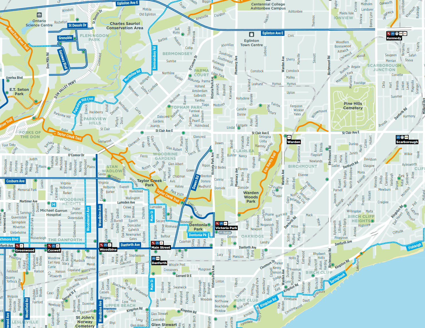
Nor does it explain why the trails go where they do: why, for instance, the Taylor Creek trail stops between Pharmacy Avenue and Victoria Park Avenue. Happy Trails answers that.
The goal of Happy Trails
Happy Trails is half map, half infographic. It shows where the trails go and why the network is fragmented, in a form that is useful whether you ride every weekend or have never been down into a ravine. It draws on a range of sources to show the trails as they are and as they are planned to be, and how barriers have been, or could be, overcome. Above all, it tries to show how different parts of the city affect each other: how a highway interchange or a rail yard in one neighbourhood can strand a trail in the next.
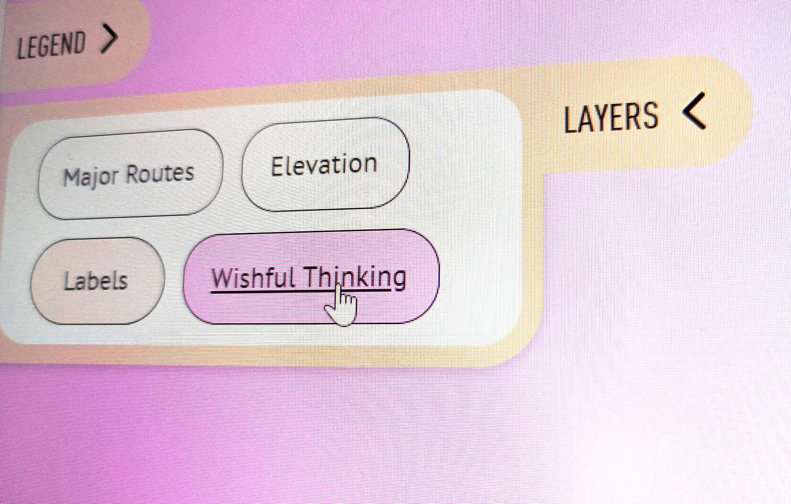
It also looks ahead. Switch on Wishful thinking in the Layers panel and proposed fixes appear alongside the existing network: the bridges, crossings and connections that would join the pieces up. Some come from planning documents; some are my own.
What the future holds
The challenge now is to turn a fragmented set of trails into a network that is greater than the sum of its parts. Some gaps will be hard: the lower Humber, for example, is hemmed in by housing that dates back to the 1800s. Others are easier. Trails should be able to pass through the City's own golf courses in the ravines; on public land, that should be a condition, not a favour.
Cycling is more popular than ever, and several major trail projects are under way across the GTA. The Meadoway is turning 16 km of Scarborough hydro corridor into a continuous trail and meadow from the Don Valley to Rouge National Urban Park, and new trails along the East Don will connect to it. Closing the hardest gaps will take bridges and tunnels, but the progress is real.
Some Wishful thinking entries may seem ambitious. Why build a bridge over the Allen when Beltline users can cross on a road bridge? Because we should want to live in a city that puts walking, cycling and healthy, active lives first. Toronto is not short of money; it is a place that can do more for its residents, and a vision that celebrates access to nature is worth having.
So I'd urge anyone using this site to think a little bigger and to ask for a little more. If we can afford the many concrete vehicle bridges over the Allen, we can afford a much smaller and cheaper one for people. If we can spend billions on highways, we can afford the comparatively modest infrastructure the trails need.
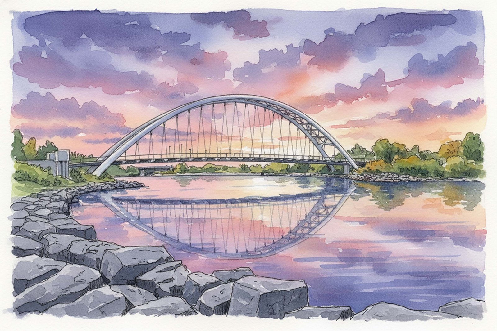
The best symbol of that ambition is the Humber Bay Arch Bridge. Completed in 1994, its 100-metre span carries the Martin Goodman Trail over the mouth of the Humber and has become one of the city's most enduring landmarks, busy with visitors taking in the view and with people on foot and on bikes heading along the waterfront. That was thirty years ago. It's time to plan the next one, and the one after that. Imagine a project of that scale every decade, or every few years.
Awareness matters too. When my wife and I moved to Toronto, long-time residents told us to stay out of the lake. Times changed, and the lake is now a place to swim. The trails are at the same point: better than most people know. I'm an avid cyclist, and it still took me longer than it should have to discover them, and I suspect public awareness of the network lags well behind the network itself. Happy Trails is a small attempt to spread the word, and to get more people out on the trails.
What could have been…
It's worth imagining the network Toronto might have had if trails had been part of planning from the start, rather than squeezed into land nobody else wanted or inherited from a failed railway. Bicycles are older than cars, and the value of green space is not a new idea. Other cities acted on both.
Planned from the start. In 1883 Minneapolis began the Grand Rounds, a 50-mile ring of parkways linking the city's lakes, the Mississippi and Minnehaha Falls, set aside before the land around it filled in. Boston's Emerald Necklace, shaped by Frederick Law Olmsted in the same decades, strings nine parks along seven miles of parkways and waterways. Copenhagen's 1947 Finger Plan steered growth along five rail corridors and kept the green wedges between them for farming and recreation; today the region is building more than 850 km of cycle superhighways across 30 municipalities.
Rings and belts. Madrid built the Anillo Verde Ciclista, a continuous 64 km cycling ring around the city, between 1995 and 2007. Frankfurt's protected GrünGürtel carries a circular trail of about 64 km through forest, meadow and river valley. Calgary's 138 km Rotary Mattamy Greenway loops through more than 55 neighbourhoods, and Ottawa's Capital Pathway runs about 220 km along the region's rivers and canal.
Scars turned into paths. Berlin turned the line of its Wall into the 160 km Mauerweg. Paris opened the Coulée verte René-Dumont on a disused railway viaduct in 1993, the first park of its kind anywhere. Atlanta is turning a 22-mile loop of old rail corridors into the Atlanta Beltline, an idea that began as a student's master's thesis in 1999. Seoul tore down an elevated expressway and in 2005 reopened the Cheonggyecheon, a restored stream with nearly 11 km of waterside walk through the city centre.
Networks by design. Singapore has been joining its parks with a park connector network since 1991, and the Netherlands counts some 153,000 km of paths and roads where cyclists are welcome. None of this happened by accident.
Imagine another ten Beltlines criss-crossing Toronto, or a ring of trail around the old city like Madrid's. It's too late to plan the network from scratch, but these examples show that cities can reclaim railways, highways and river valleys decades after the fact. It isn't too late to connect, improve and extend what we have.
What these places share is not wealth or geography so much as a series of decisions: land set aside before it was needed, corridors kept when their first use ended, and roads given back when they no longer earned their place. Toronto has made some of those decisions already, with the Beltline, the Meadoway and the Humber Bay Arch Bridge. The difference is making them on purpose, as a network, rather than one fragment at a time.
The trails in 2026
Out on the trails in 2026, you'll notice they often feel cobbled together. That's no surprise, given how trails come to exist. Most began as informal footpaths worn in over decades, sometimes many decades. As the city grew around them, those paths multiplied into a muddy tangle, until the municipality replaced them with a single paved trail and discouraged the rest.
That first trail was built for the neighbourhood around it, with little thought for how it might connect to others, and no attempt to match trails elsewhere in the city. Some are narrow; some have needlessly steep pitches, awkward gates or other quirks. Signs are poor or missing. And where the trail meets an obstacle, it simply stops. The first obstacle is usually water, so the first real piece of trail infrastructure is usually a bridge.
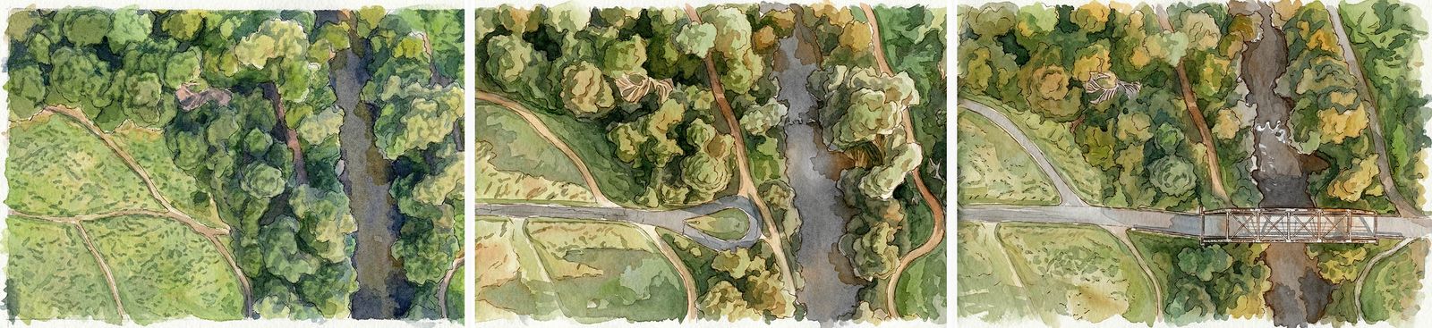
As a trail grows it meets harder obstacles: highways, railways, golf courses and development pressed up against natural areas. That is where we are now. The easy part is done; the next step is to connect the network. As bikes and e-bikes carry more people further, and a wider range of ages out onto the trails, demand will only grow. Now is the time to fix the mistakes of the past, even where that is difficult. Let's not be afraid of change. It's worth it.
Who am I?
This is a hobby project, built from a love of riding the trails and a frustration with both the maps and the gaps. I believe well-planned, connected trail networks make cities better, and that with continued support and advocacy Toronto can have one that is beautiful, accessible and extensive. Toronto always seems to be on the verge of greatness; this is another chance to get it right.
To get in touch, visit the contact page.
Buy me a coffee
This map is drawn by hand and given away. If it has been useful — if it found you a route, or settled an argument about a missing bridge — you can put something in the tin.
Buy me a coffee